Day 5: Tangible application of geospatial and computational thinking
First, take a minute to pat yourself on the back. You've made it to the last day! To celebrate, let's have some fun.
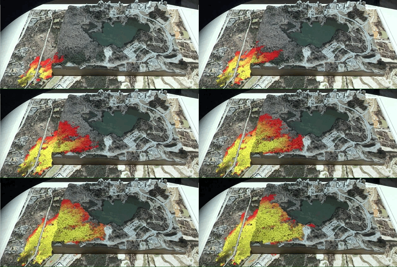
Over the course of this lesson plan, you've built up your geographic knowledge, geospatial thinking, and computational thinking. Now its time to use this knowledge to solve a problem with a hands-on simulation of fire spread using Tangible Landscape.
The simulation will allow you to explore and understand the spread of wildfire with the ability to adapt the landscape and examine the effects of a break in the trees (e.g., a fire break). Specifically, the physical landscape model represents a surface model which allows you to examine how wildfire spreads with and without intervention.
Resources
Tangible Landscape

Tangible Landscape Fire Spread Simulation
Assignment
Apply your acquired geographic knowledge, geospatial thinking, and computational thinking skills on Tangible Landscape.